From the atlas / 01
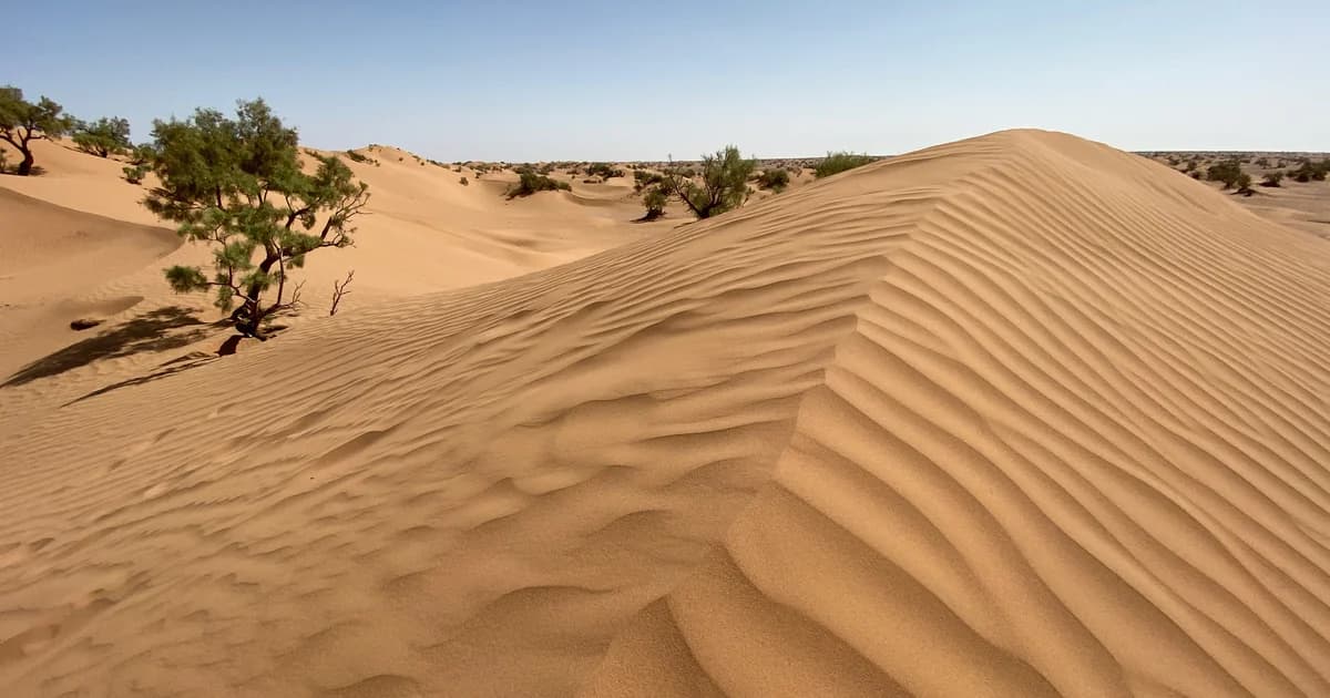
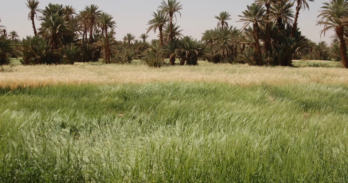
M’Hamid El Ghizlane
Our starting point, between the palm groves and the open desert.
Photo: Richard Allaway · CC BY 2.0 · Cropped; full credits in article
Read the article
01 / The places collection
An atlas of oases, villages and desert landscapes.
Begin somewhere. Follow the connections.
A field guide to
the edge of the Sahara.
Begin with the landscape
Follow a river, find an oasis,
linger in a village.
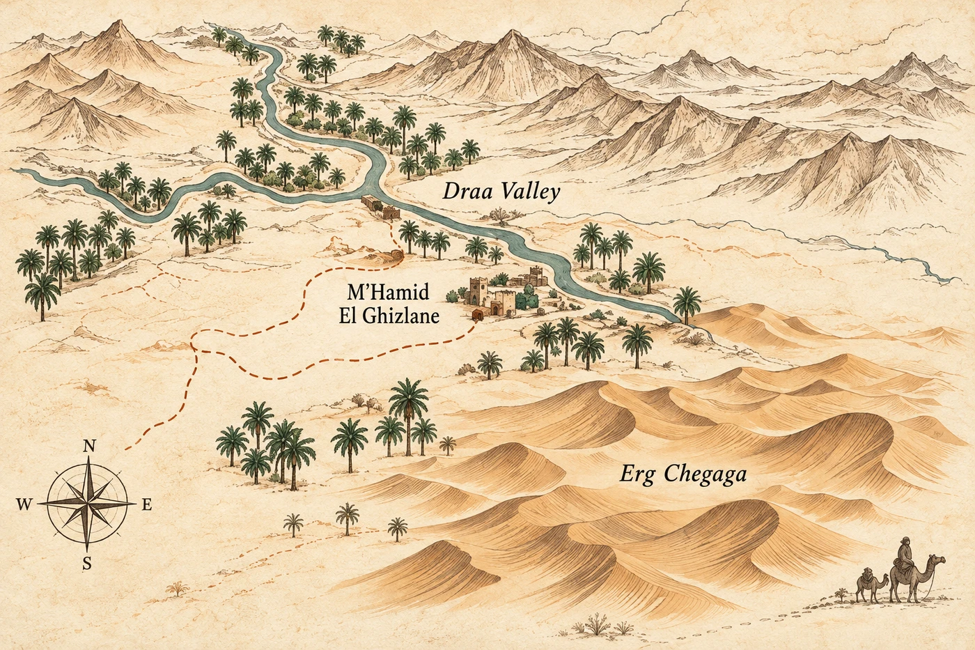
From the atlas / 01
Our starting point, between the palm groves and the open desert.
Photo: Richard Allaway · CC BY 2.0 · Cropped; full credits in article
Read the articleResearch editions · Read every entry in full
Read the articleOur starting point, between the palm groves and the open desert.
Photo: Richard Allaway · CC BY 2.0 · Cropped; full credits in article
 Read the article
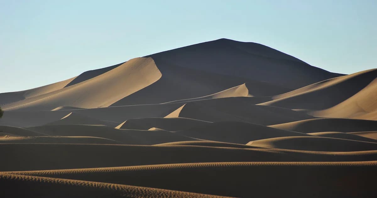
Shifting sand, changing light, and a horizon that invites a closer look.
Photo: NikbarteMedia · CC BY-SA 4.0 · Cropped; full credits in article
 Read the article
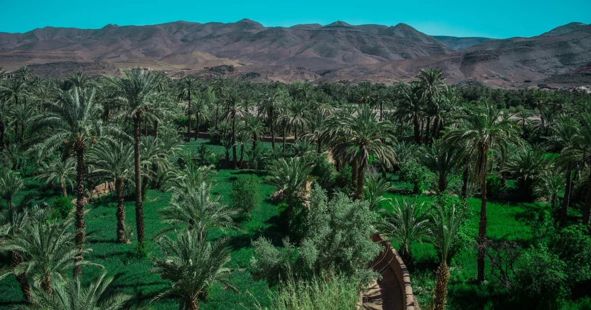
A thread of water, palm groves and settlements through the landscape.
Photo: Mohamed Rharnati · CC BY-SA 4.0 · Cropped; full credits in article
 Read the article
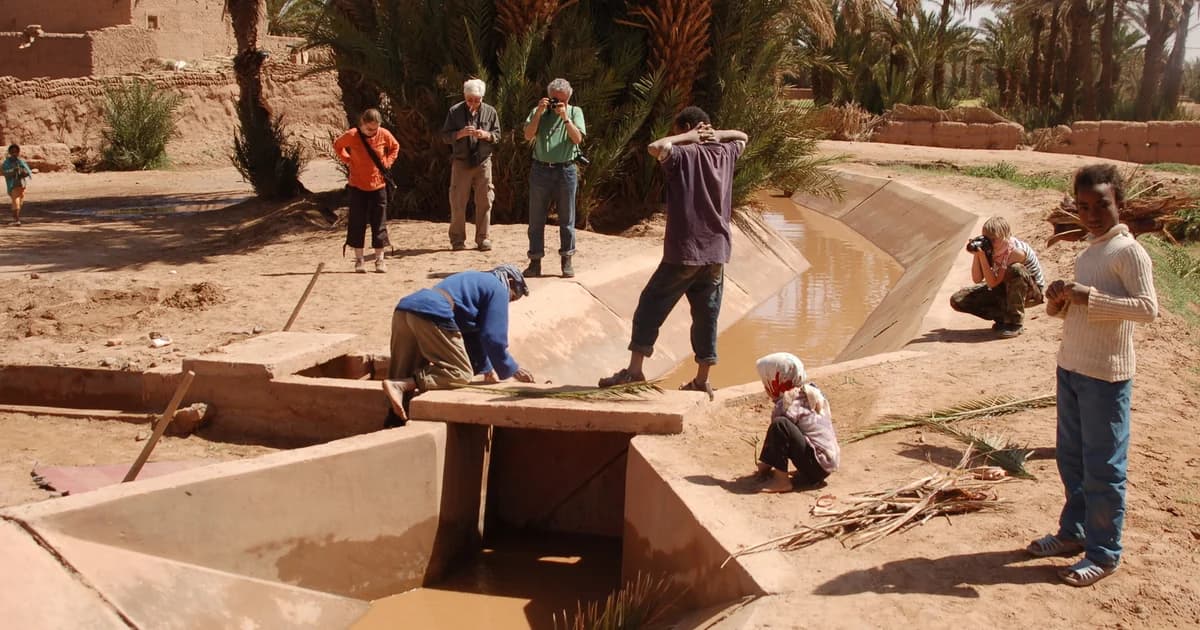
Water, palm gardens and farming work, read through dated research and historical photographs.
Photo: Historical photograph · Herc83 · CC BY-SA 3.0 · Cropped; full credits in article
 Read the article
A named ksar in the M’Hamid oasis, read through its gates, building knowledge and restoration records.
Photo: Oasis context only · Herc83 · CC BY-SA 3.0 · Cropped; full credits in article